Aim
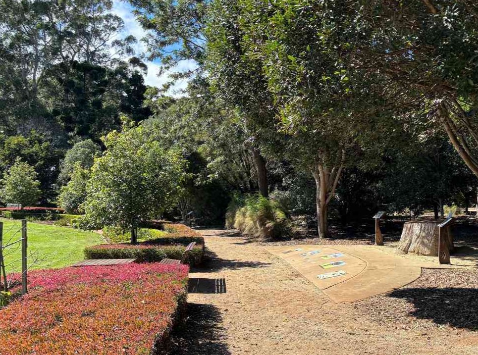
Find your way through Peacehaven as you explore, navigate and discover the stories held within the landscape.
Big idea
People use maps, knowledge and observation to navigate and understand place.
Program details
Venue:
Peacehaven Botanic Park
Duration: 9.30am–2.30pm
Availability: Term 1, 2, 3, 4
Supervision: Visiting teacher, support staff and 3 adult supervisors/day (not per class)
Student experiences
- Explore Peacehaven Botanic Park and observe the flora, fauna and features of the landscape.
- Develop and practise mapping and directional skills as you navigate the park using maps, landmarks and orientation.
- Use observation and tracking skills to notice signs of plants, animals and people within the landscape.
- Discover First Nations connections to the landscape and consider how people have navigated, used and understood Country over time.
- Create and share stories of place using symbols and visual representations to communicate understandings of the landscape.
Curriculum link
Year 2
Year 3
Year 4